If you like clouds and rain, this is your type of week! An area of low pressure will stall out over the Carolinas at least until late Thursday this week. We are in a blocking pattern. Think of it as a car on the highway that is broke down. In order to get around it you have to take a long detour, or just wait it out until it moves. That is what the atmosphere is doing now. The low is stuck and the weather has to take the long way to get around just to move.
 |
| Two big blocks in the east and the west will keep our weather unsettled for most of the week. |
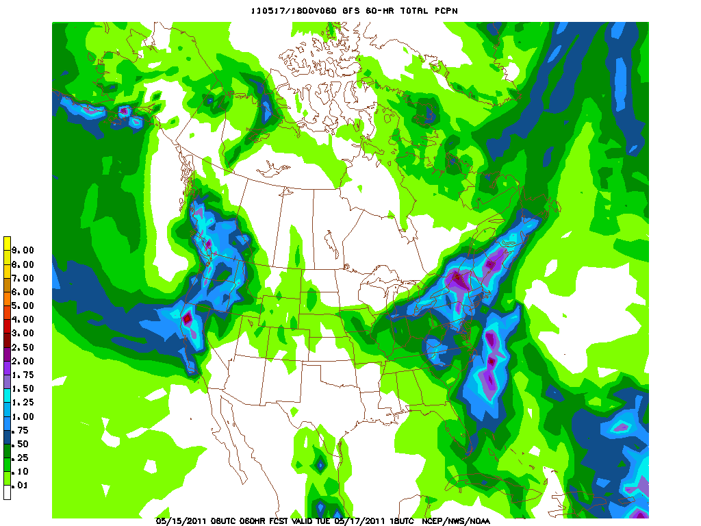
This area of low pressure will direct rain around it counter clockwise into New England. A weak frontal area will set up over New England as the boundary between the drier air (High) from Canada to the moist air (Low) over the south. This boundary will act as a lifting mechanism and whenever you get lift in the atmosphere, you get clouds and rainfall. This boundary will shift back and forth as the steering currents remain stalled out. So expect areas of rain to be scattered but persistent through Thursday. The mountains will also play a roll in this event creating locally heavy areas of precipitation.
 |
| Precipitation until Tuesday. The heaviest will be over the Adirondacks, Green and White Mtns and Maine. Still an inch of rain is possible in the lighter blue shade. |

No comments:
Post a Comment